Alexandra Home to Alexandra Road
Mapping the route via walking
Mapping the route home via car (Uber)
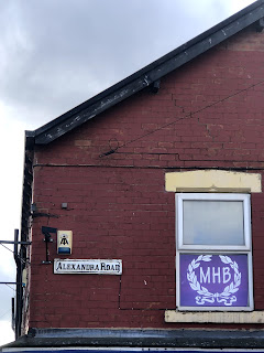
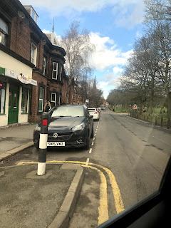
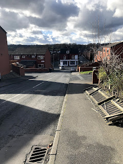
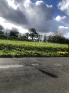
Initially primary research was gathered by actually taking the route both by foot and back by car to see how mapping different by different means of transport. It was found the same route differed when different means of transport had the same destination, which was interesting. Further research recorded mapping this route through the method of taking photographs, key things like type and signage were acknowledged. The route itself was more suburban than city, so the route mainly captured residential areas.
This research encouraged me to think alternative ways of mapping a route such as through imagery or objects.


No comments:
Post a Comment